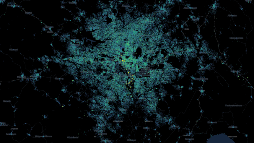
The first map displaying high-resolution building footprints and heights throughout Africa and the global South, encompassing every year from 2016 to 2023, was unveiled this week by the UN and Google.
These regions of the world were frequently only covered by poor quality maps, which made it difficult to observe how people lived or how towns developed over time.
Nevertheless, the group employed artificial intelligence (AI) to extract building heights and footprints from low-resolution satellite photos that were already being recorded every five days.
According to Google researcher John Quinn, “not knowing where buildings are is a big problem for lots of practical reasons.
Program manager Abdoulaye Diack stated, “We want people in the global South making policy decisions to have the same tools available as the global North.”
The AI model has been trained to recognize what different types of structures look like, and because it studies satellite photos that are shot periodically, it can spot how even transient settlements like refugee camps develop.


