
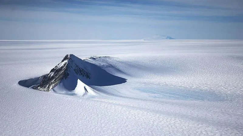
For the first time, scientists have mapped in detail the landscape beneath Antarctica’s ice and discovered thousands of new hills, ridges. The breakthrough could help predict how Antarctica’s glaciers will respond to climate change and impact global sea-level rise.
By combining satellite data with physics-based models of how ice moves, the researchers reconstructed the continent’s unseen terrain. “It’s like going from a fuzzy picture to a really high-definition image,” said Helen Ockenden from the University of Grenoble-Alpes. Satellites have long relayed back images of Antarctica’s icy surface, but the terrain hiding beneath has otherwise mostly remained.
Traditional techniques using radar measurements from planes and a few ground surveys were able to cover only scattered lines.
“Imagine trying to map the Scottish Highlands under a thick ice sheet, but you only have a few aerial passes kilometers apart,” said Professor Robert Bingham, a glaciologist at the University of Edinburgh.
For this, researchers filled in the gaps by amalgamating their view of changes in the surface of the ice as observed by satellites with scientific .
Among the most interesting findings in the Maud Subglacial Basin is the presence of a deep channel. It is about 400 km long, 6 km wide, and 50 meters deep. These findings are very important since the glacial channels have a great impact on the speed.
However, the map is not conclusive, as it is a compilation of assumptions concerning the ice flow. There is still a need for more information concerning the rocks and deposits on the bottom of Antarctica.
“It allows us to fill in the gaps and get an even better understanding of how Antarctica may change in the future.”
This major discovery allows scientists to be able to predict the way that the warming climate.