The majority of southern and northern England, the Midlands, and a portion of Wales are included in the Met Office alert.
On Thursday, it starts at 12 a.m. and finishes at 11:59 p.m.
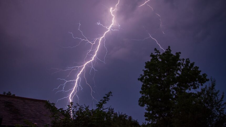
“Heavy showers and thunderstorms are expected to develop on Thursday and may lead to some disruption,” according to the Met Office.
According to the report, spray and “sudden flooding” might cause hazardous driving conditions and even cause some road closures.
“Where flooding or lightning strikes occur, there is a chance of delays and some cancellations to train and bus services,” it stated.
It also mentioned the possibility of power outages in residences and commercial buildings.
It follows the issuance of yellow heat-related health advisories throughout it.
Forecasters predict that the UK may experience its warmest day of the year in the next few days, coupled with the probable official declaration of an official heatwave.
With special reference to the South East and London, the UKHSA issued a warning that the conditions might have “significant impacts” on the health and social care sector.
The warning is in effect until Wednesday and covers the whole of England, with the exception of the North East and North West.
According to the Met Office, temperatures in other parts of the UK will be four to five degrees warmer than typical for this time of year, with highs in London perhaps reaching 32C (89.6F) by Tuesday.


